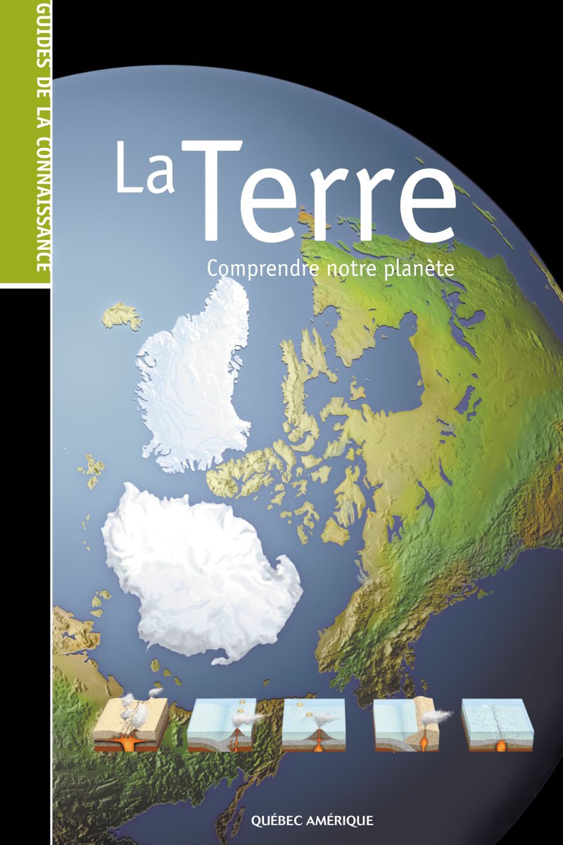
Earth: Understanding Our Planet
A comprehensive illustrated reference guide to understanding Earth's origins, structure, and dynamic systems. This 130-page work explores the planet's 4.6 billion-year geological history, from its formation within a primordial dust cloud through to the emergence of complex life. The guide examines Earth's internal composition in detail—the structure of the crust, mantle, and core—alongside fundamental concepts in mineralogy and geology essential to understanding how the planet works. Plate tectonics and volcanism receive extensive treatment, covering earthquake mechanisms, volcanic eruptions, and the forces that shape continents. Earth's water systems are thoroughly documented, from ocean circulation patterns, currents, and tides to tsunamis and freshwater environments including rivers, lakes, and groundwater. The landscape evolution section addresses erosion processes, mountain building, glaciation, and coastal dynamics—the visible evidence of geological change. Additional topics encompass Earth's magnetic field, the rock cycle, and systematic mineral classification. The work concludes with practical geographic and cartographic information: coordinate systems, map projections, and satellite technology for modern Earth observation. Throughout, detailed illustrations and cross-section diagrams clarify complex scientific concepts.
Table of Contents:
- The History of Earth .... 6
- The birth of Earth .... 8
- The geologic time scale .... 10
- Life conquers the continents .... 12
- Understanding geologic time .... 14
- The Structure of Earth .... 16
- Inside the Earth .... 18
- Geomagnetism .... 20
- Minerals .... 22
- The shape of minerals .... 24
- The rock cycle .... 26
- Types of rocks .... 28
- Tectonics and Volcanism .... 30
- Plate tectonics .... 32
- The fate of Pangaea .... 34
- Continental drift .... 36
- Volcanoes .... 38
- Volcanism .... 40
- Volcanic eruptions .... 42
- Hot spots .... 43
- Geysers .... 44
- Earthquakes .... 46
- Seismic waves .... 48
- Water and the Oceans .... 50
- Waterways .... 52
- Rivers and lakes of the world .... 54
- The world ocean .... 56
- The ocean floor .... 58
- Trenches and oceanic ridges .... 60
- Ocean currents .... 62
- Waves .... 64
- Tsunamis .... 66
- Tides .... 68
- The Evolution of Landscapes .... 70
- Erosion .... 72
- The erosion cycle .... 74
- Mass movements .... 75
- Caves .... 76
- Mountain formation .... 78
- Mountains of the world .... 80
- Coastline configuration .... 82
- Glaciers .... 84
- Glacial erosion .... 86
- Icebergs .... 87
- Representing the Earth .... 88
- Geographic coordinates .... 90
- Map projection .... 92
- Cartography .... 94
- Cartographic conventions .... 96
- Physical and topographic maps .... 98
- Thematic maps .... 100
- Remote sensing .... 102
- Satellites and shuttles .... 104
- Time zones .... 106
- The Continents .... 108
- Configuration of the continents .... 110
- Antarctica .... 111
- North America .... 112
- South America .... 114
- Europe .... 116
- Asia .... 118
- Oceania .... 120
- Africa .... 122
- Glossary .... 124
- Index .... 126
Documentation must be downloaded on a computer (PC, Mac, or Linux).
Do not use a smartphone or tablet to download documentation; they generally lack sufficient memory capacity to handle large files, and few users know how to locate the download folder on these devices.
Once downloaded, you can use it right away and even print the pages you need, or use your smartphone in photo mode to translate into the language of your choice: Google Translate
Document Details
- Format
- Pages
- 130
- Size
- 40.7 MB
- Category
- Society & Culture